The European Space Agency has released a new three-plus-minute Mars flyover video based on images transmitted by the Mars Express orbiter.
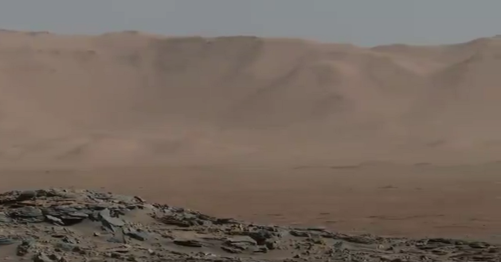
ESA’s Mars Express takes viewers on a flight over Xanthe Terra, a highland region just north of the equator. The film is a mosaic created from images taken during single-orbit observations by Mars Express’s High Resolution Stereo Camera (HRSC). The images were combined with topography information from a digital terrain model (DTM) to create a three-dimensional view of the Martian landscape. The main feature in this video is Shalbatan Vallis, a 1300 km-long (~800 mi) outflow channel that transitions from the Southern Highlands to the Northern Lowlands.

(Note: The image above is merely a screencap; follow the text links to see the video on ESA’s site.)
There are two amazing things about this video. First, as large as the area clearly is, compared to the rotating image of the planet in the very beginning, the features we see are completely dwarfed by Valles Marineris (the huge canyon south of Xanthe Terra). And second, the amount of detail is surprisingly ample. I wonder how much an exogeologist would be able to deduce?
I’ve said it before, and I’m sure I’ll say it again: it is a very good time to be a space geek. 🙂
(Also interesting to me, at least, is that since the video is silent, my brain started playing the main theme from the movie Gravity. Space imagery must be accompanied by majestic music now?)
Found via File 770.
Out There highlights intriguing art, places, phenomena, flora, and fauna.


You must be logged in to post a comment.